Natomas Basin Habitat Conservation Plan
Chapters:
- Cover (PDF, 119.93 Kb)
- 1. Table of Contents (PDF, 139.86 Kb)
- 2. Forward & Definitions (PDF, 202.37 Kb)
- 3. Introduction Chapter (PDF, 674.08 Kb)
- 4. Biological Data (PDF, 708.74 Kb)
- 5. Land Use (PDF, 327.41 Kb)
- 6. Conservation Plan (PDF, 565.44 Kb)
- 7. Avoidance Measures (PDF, 487.80 Kb)
- 8. Plan Implementation (PDF, 706.81 Kb)
- 9. Take Levels (PDF, 1021.70 Kb)
- 10. References (PDF, 209.02 Kb)
- HCP Revisions (PDF, 2 Mb)
Figures:
- fig01 – Regional Location (PDF, 87.23 Kb)
- fig02 – Land Use Agencies “Permit Areas” (PDF, 77.55 Kb)
- fig03 – Water Delivery and Drainage Systems (PDF, 77.64 Kb)
- fig04 – Aerial Photograph (PDF, 1.19 Mb)
- fig05 – 1908 Land Cover (PDF, 290.33 Kb)
- fig06 – Current Topography (PDF, 125.35 Kb)
- fig07 – Flood Prone Areas (PDF, 68.82 Kb)
- fig08 – Current Native Habitats (PDF, 72.34 Kb)
- fig09 – 1993 Habitat Types Map (PDF, 72.30 Kb)
- fig10 – 1997 Habitat Types Map (PDF, 117.48 Kb)
- fig11 – 2001 Habitat Types Map (PDF, 115.76 Kb)
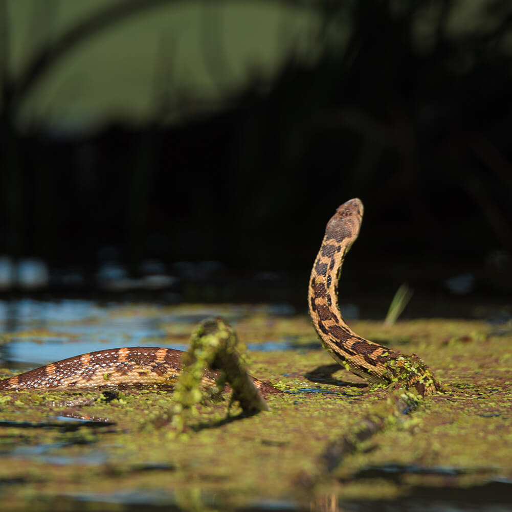
- fig12 – Giant Garter Snake Records (PDF, 60.93 Kb)
- fig13 – Active Swainson’s Hawk Nests/Swainson’s Hawk Zone (PDF, 69.93 Kb)
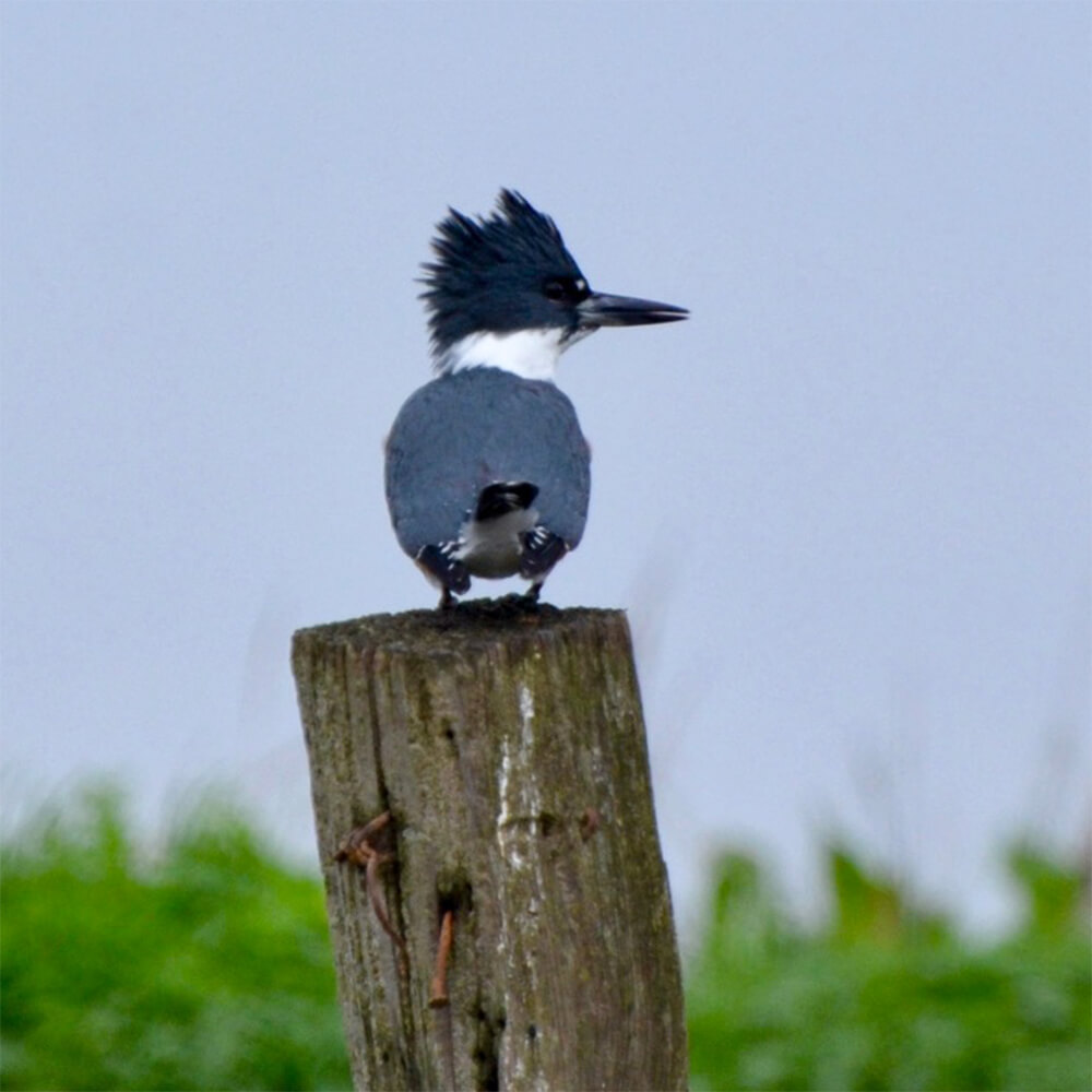
- fig14 – Other Species Records (PDF, 62.91 Kb)
- fig15 – Rice Cultivation (1997) (PDF, 65.34 Kb)
- fig16 – Historic, Existing and Projected Urban Development Areas (PDF, 135.98 Kb)
- fig17 – TNBC Reserves and Water Agency Channels (PDF, 67.10 Kb)
- fig18 – Comparison of a Rice Field to a Managed Marsh (PDF, 968.38 Kb)
- fig19 – Wetland Plant Depths and Levee Structures (Figures 19.1 through 19.5) (PDF, 406.94 Kb)
- fig20 – Out-of-Basin Mitigation Areas (PDF, 80.41 Kb)
Appendices:
- NBHCP – Appendix A (PDF, 3.25 Mb)
- NBHCP – Appendix B (PDF, 907.30 Kb)
- NBHCP – Appendix C (PDF, 769.31 Kb)
- NBHCP – Appendix D (PDF, 508.26 Kb)
- NBHCP – Appendix E (PDF, 732.37 Kb)
- NBHCP – Appendix F (PDF, 1.34 Mb)
- NBHCP – Appendix G (PDF, 916.81 Kb)
- NBHCP – Appendix H (PDF, 5.41 Mb)
- NBHCP – Appendix I (PDF, 590.90 Kb)
- NBHCP – Appendix J (PDF, 1.32 Mb)
- NBHCP – Appendix K (PDF, 1.46 Mb)
- NBHCP – Appendix L (PDF, 1.03 Mb)