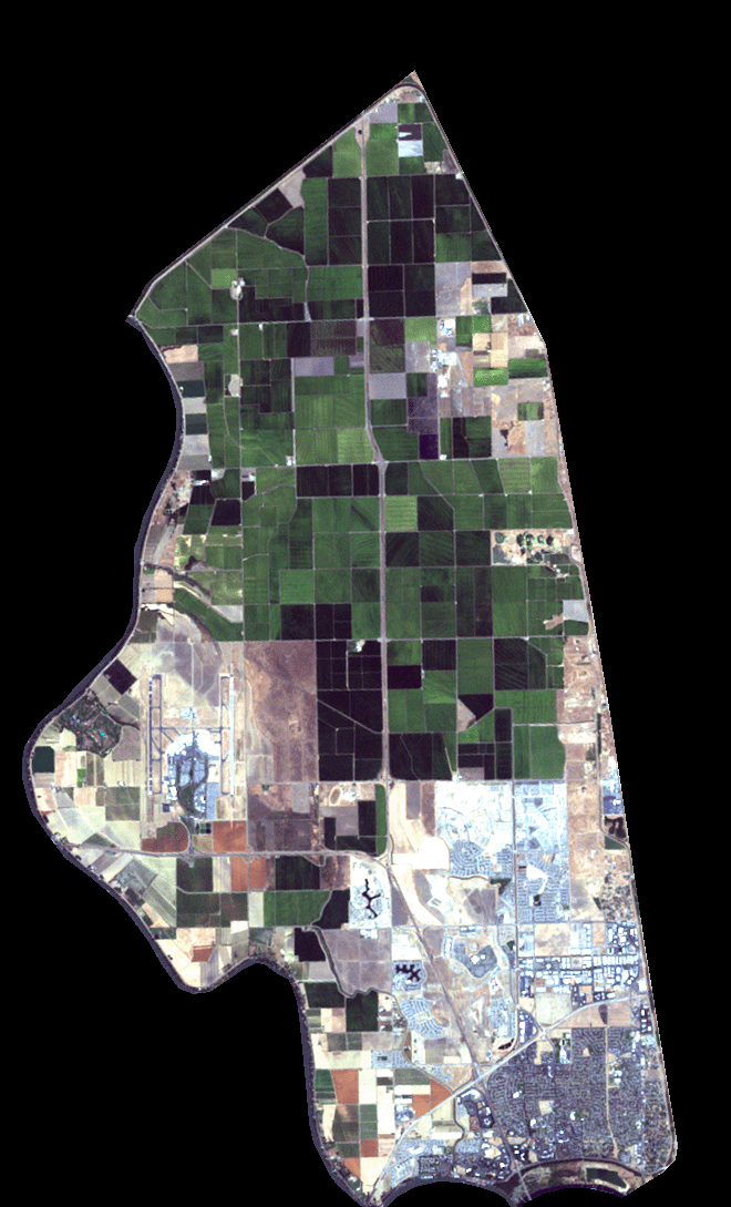
The Conservancy secured a satellite photo of the Natomas Basin in order to track the progress of its restoration and enhancement construction activities. The image was captured on September 1, 2002 and clearly shows the Conservancy’s first completed restoration and enhancement construction project on the Betts-Kismat-Silva preserve.
Acquisition of the image was originally intended to simply provide authorities with positive documentation of the successful implementation by the Conservancy of the restoration and enhancement tasks spelled out in the Natomas Basin Habitat Conservation Plan (NBHCP). However, the image shows much more, recording the changes at Sacramento International Airport, the advance of urbanization (appearing as blue and gray), and the various crop types in the Basin (which show up as various color differences with rice appearing as green). The Conservancy plans to use this and future satellite photos for NBHCP compliance and preserve planning efforts.
The image was acquired with the assistance of the Western Regional Office of Ducks Unlimited, based in Rancho Cordova, California.

